Location – N of the main Rath Cruachan mound on the N5.
OS: M 800 838 (map 33)
Longitude: 8° 18' 12.93" W
Latitude: 53° 48' 11.99" N
GPS: M 80041 83803 (Accuracy: 4m)
See map at the bottom of the page.
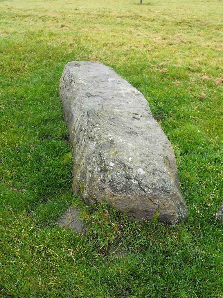
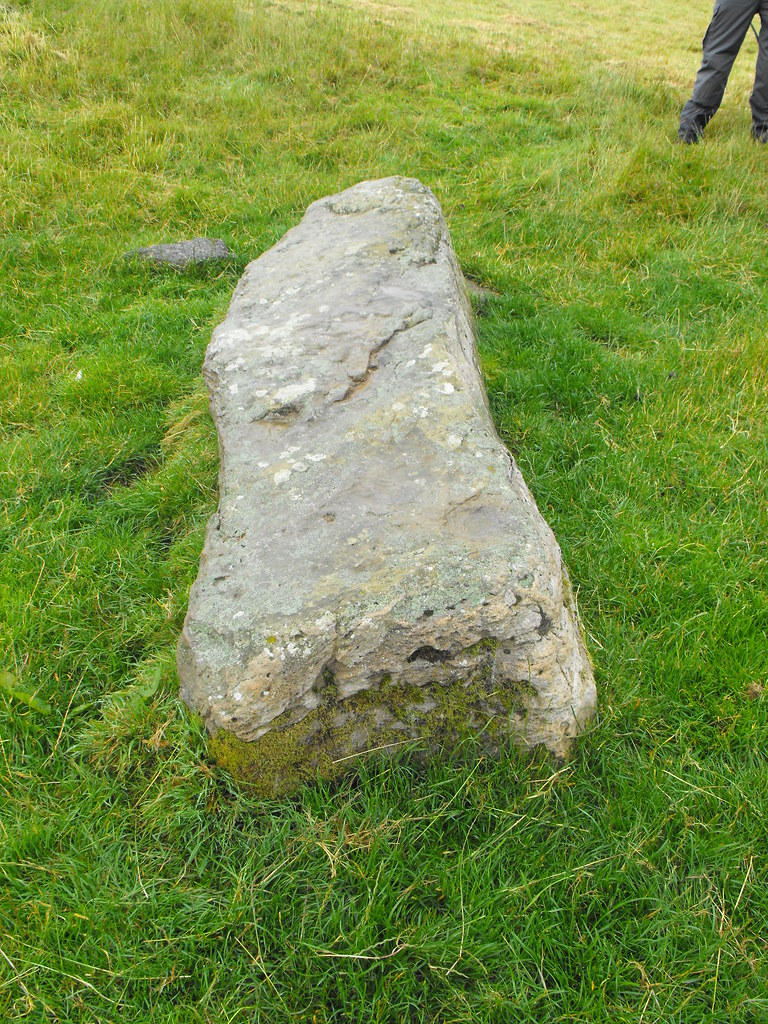
Description and History – This stone must have been quite impressive when it stood. It is 2.78m in length and obviously wouldn’t have stood to that height but it would have been still well over 2m tall. No packing stones are visible and it is unclear which end is the top. This stone probably has some connection to the Rath Cruachan mound.
Difficulty – Easy to find and spot.
For more sites in the Rathcroghan complex, click here.
For more standing stones, click here.
For more sites in Co. Roscommon, click here.
The walking stick is 1m long...for scale.
View The Standing Stone in a larger map


