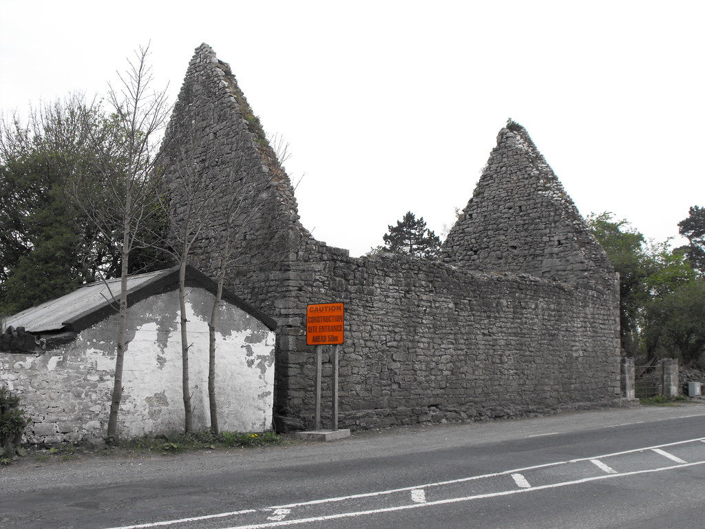
Location – In Mungret village. This ruin is the first you will meet by the roadside.
OS: R 544 539 (map 65)
Longitude: 8° 40' 24.96" W
Latitude: 52° 38' 4.13" N
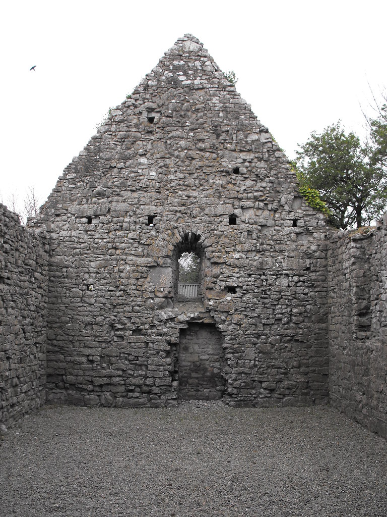
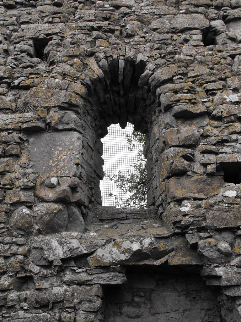
Description and History – This church is specifically dedicated to St. Nessan, the founder of the whole site at Mungret. Although this church is pre-Norman it is believed to be slightly younger than the old church and probably dates to around 1100. The window in the E gable is 12th century in date and was put in after the original building of the church. This is a nice little church and may be what the other older church might have looked like.
Difficulty – This church is right by the roadside and couldn’t been easier.
Back to the Mungret menu.


