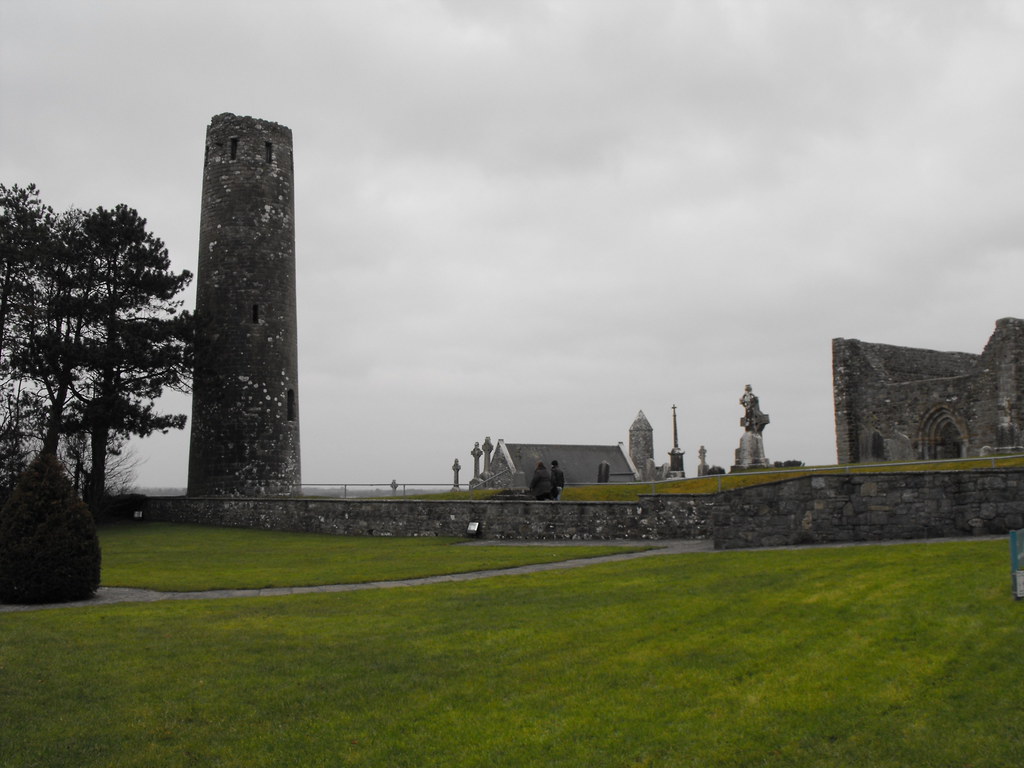
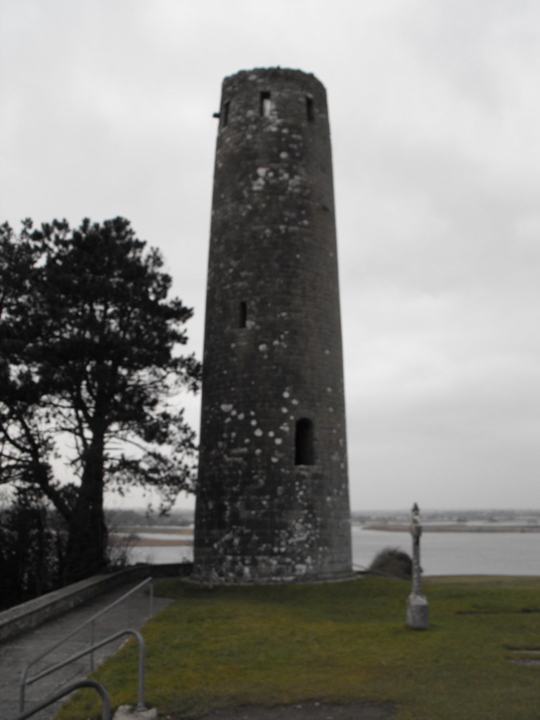
Location – In the main Clonmacnoise site and very easy to spot.
OS: N 009 306 (map 47)
Longitude: 7° 59' 9.32" W
Latitude: 53° 19' 34.29" N
GPS: N 00938 30658
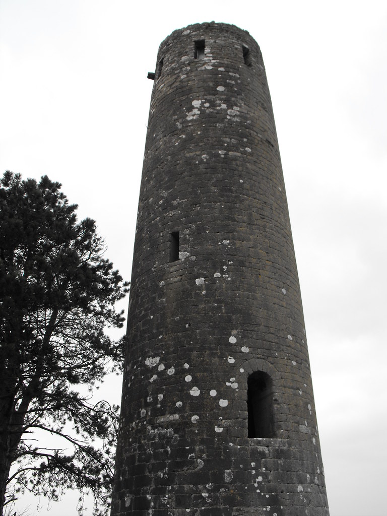
Description and History – This is a pretty typical round tower and dates to 1124 and was built by Turlough O’Connor. The top was destroyed by lightening in 1135 and the present top with 8 small windows is later in date. The bell was stolen by English soldiers in 1552. The opening is several metres above ground lever and is Romanesque in style. It is 19m in height and 5.6m in diameter.
Difficulty – This is the first thing that you meet as you leave the visitors centre so it couldn’t be easier.
Back to the Clonmacnoise menu.


