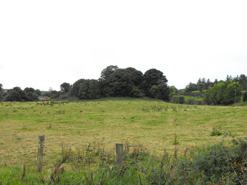
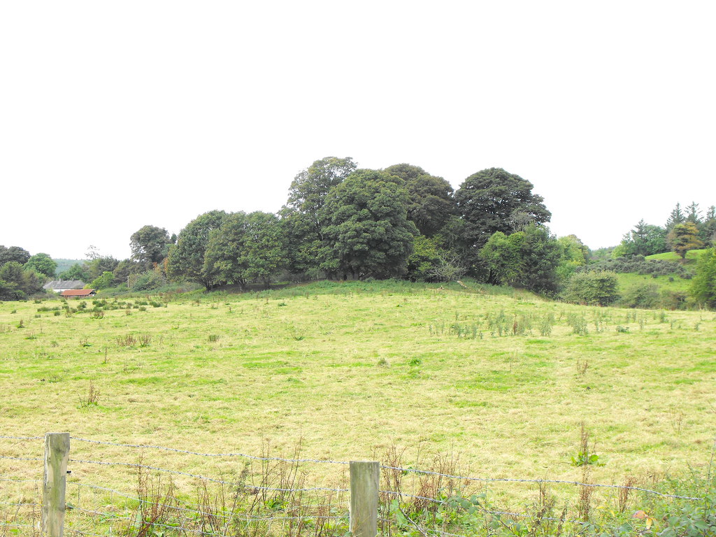
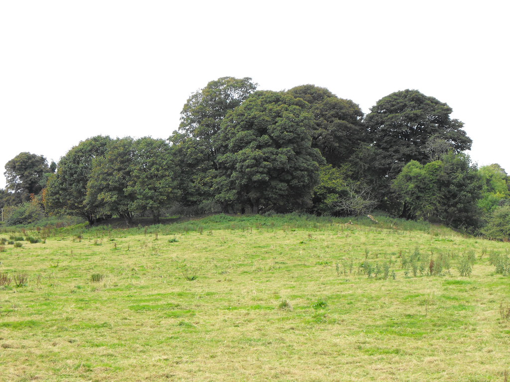
Location – In the Slieve Bloom mountains in the foothills of Arderin mountain.
OS: S 244 967 (map 54)
Longitude: 7° 38' 10.89" W
Latitude: 53° 1' 13.72" N
See map at the bottom of the page.
Description and History – The remains of this motte and bailey are poor but still distinctive nonetheless. It is about 3.5m high and the enclosure of the site has a diameter that varies between 50 and 60 meters. The mound itself had a diameter of about 10m with no signs now of a fosse.
Difficulty – The site is easily visible from the road and is on the left as you ascend the mountain and is a well drained field.
For more castles, click here.
For more sites in Co. Laois, click here.
View The Standing Stone in a larger map


