OS: R633 406 (map 65)
Longitude: 8° 32' 27.43" W
Latitude: 52° 30' 54.25" N
GPS: R63280 40538 (Accuracy 5m)
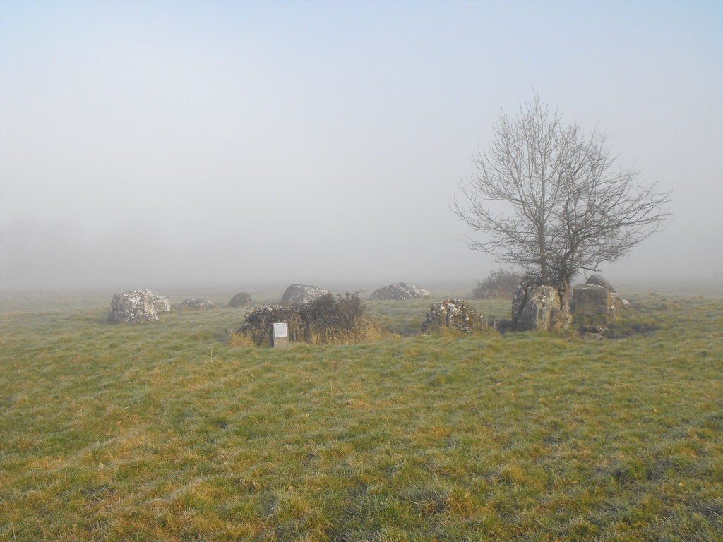
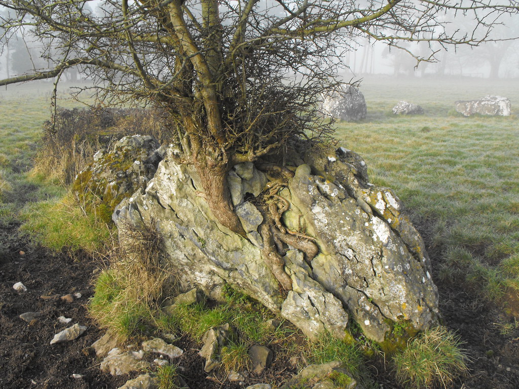
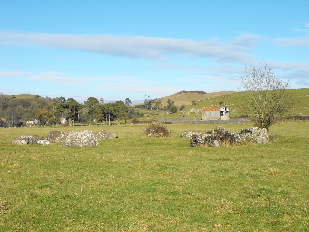
Description and History – This stone circle, unlike its big brother, has not been excavated so it is difficult to date but it is likely to be from the Bronze Age like the other circle. It seemed to me however that it is much older than the large circle. It is a much rougher and organic circle and certainly less worked out. The circle is roughly 17m in diameter and contains 15 stones with a slightly raised area in the middle. One stone has a thorn bush growing around it while another has a tree growing through it. A large gap on the Southern side of the circle indicates that some stone have been removed. None of the stones are much more than 1m high and they are all wider than they are high. The circle, even with the larger partner so close, is still very impressive.
Difficulty – Easy to get to. The only hard part is finding the gap in the fence...it is not that obvious where it is.
For more stone circles, click here.
For more sites around Lough Gur, click here.
For more sites in Co. Limerick, click here.
Seeing the circle emerge out the fog as I walked across the field toward it only added to its mystery.
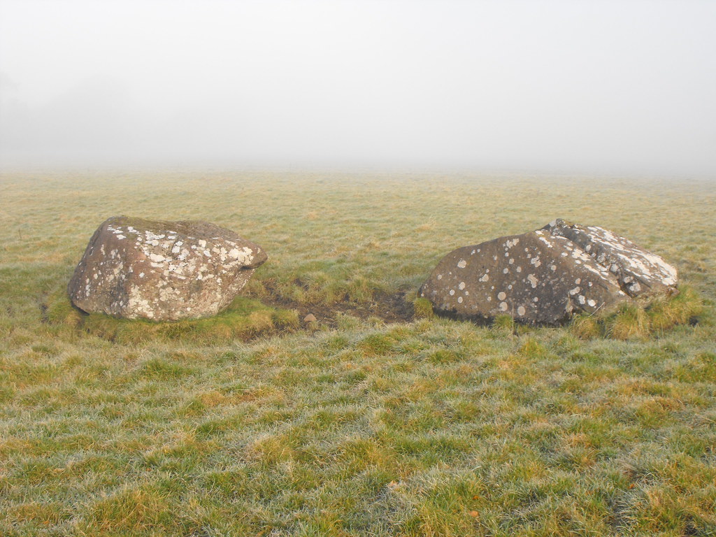
The stones are low but quite big.
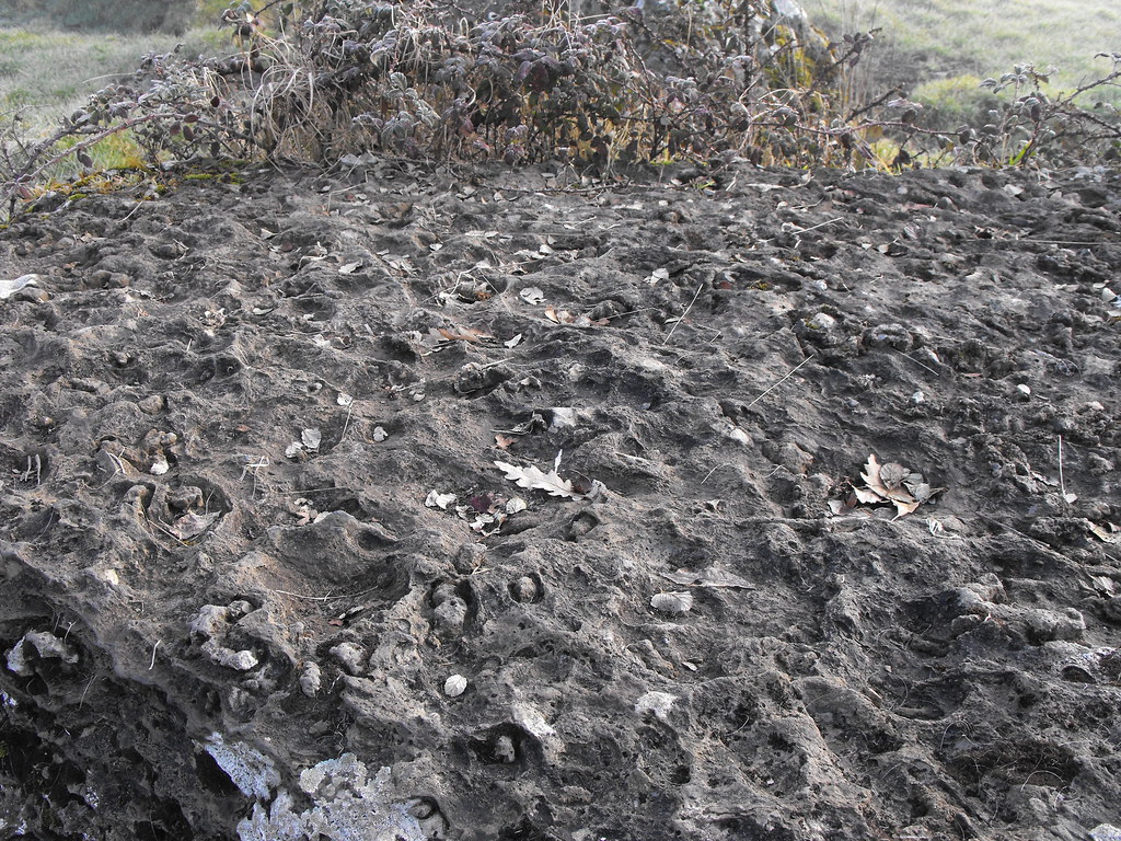
This stone has weathered in an interesting way.
The tree, as you can see, has grown through this stone.
The circle in more clear weather.
View The Standing Stone in a larger map
View The Standing Stone in a larger map

