Location – Near the Lough Gur visitors centre.
OS: R 646 415 (map 65)
Longitude: 8° 31' 15.14" W
Latitude: 52° 31' 24.96" N
GPS: R 64650 41477 (Accuracy: 7m)
See map at the bottom of the page.
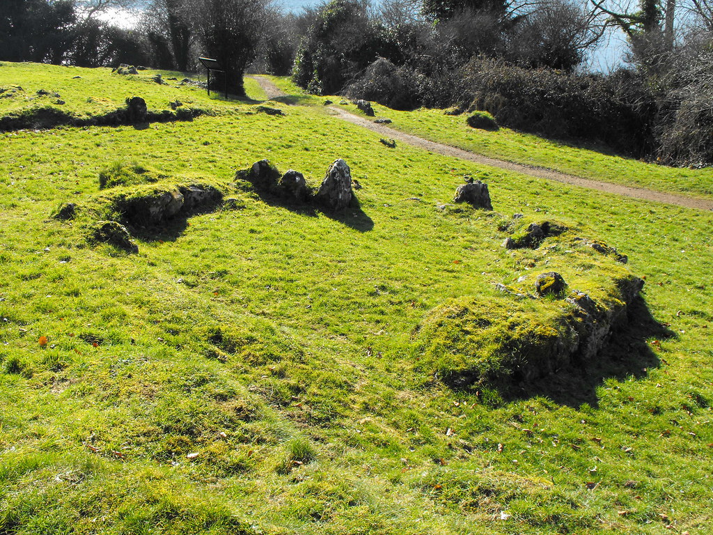
Description and History – The spectacles may seem an odd name for this hut site but from above it looks like a pair of glasses. It was thought that there were two hut sites here but upon excavation one turned out to be a natural rock formation. The hut site dates to the early Christian period and is about 4.5m in diameter and consists of a simple stone kerb. Posts would have been around this forming the hut with a thatch or turf roof. Around the hut is a system of fields from this period also. It is kind of hard to make out when you are there but there is an information board which gives you a site plan.
Difficulty – Really easy to get to.
For more sites around Lough Gur, click here.
For more sites in Co. Limerick, click here.
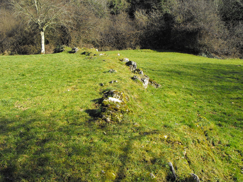
Part of the ancient field boundaries.
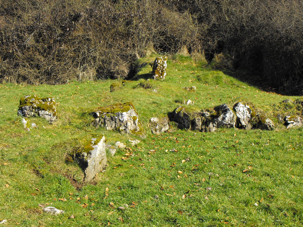
More field boundaries.
The hut site. The two larger stones near the front form an entrance.
Looking down on the circular hit site.
View The Standing Stone in a larger map
View The Standing Stone in a larger map


