Location – About three miles W of Co. Kildare and one mile E of Lackagh More church.
OS: N 694 127 (map 55)
Longitude: 6° 57' 42.47" W
Latitude: 53° 9' 36.44" N
GPS: N 69436 12681 (Accuracy: 7m)
See map at the bottom of the page.
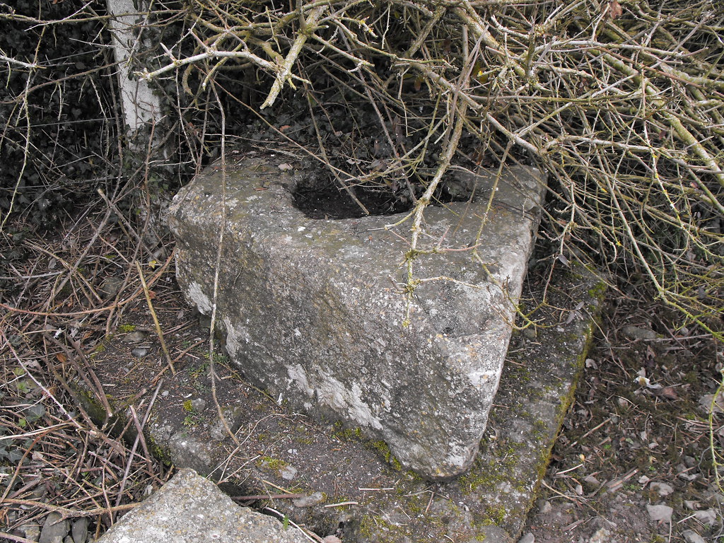
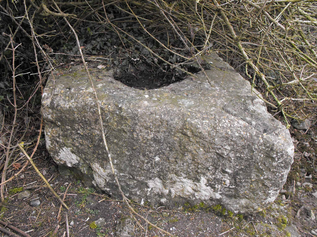
Description and History – This site is very sad. The base has been shoved under a hedge in a lay-by on the side of the road and has seemingly been forgotten about. It really wouldn’t take much to relocate it to Lackagh More which isn’t far away. This cross base is a very odd shape and is a sort of parallelogram. The hole for the cross is small and it is hard to imagine what kind of cross it would have accommodated.
Difficulty – Easy to get to but I would imagine during the summer months the hedge really swallows it up.
For more ecclesiastical sites, click here.
For more sites in Co. Kildare, click here.
View The Standing Stone in a larger map


