Location – Just off, and visible from the N80.
OS: S 613 889 (map 61)
Longitude: 7° 5' 16.63" W
Latitude: 52° 56' 50.78" N
See map at the bottom of the page.
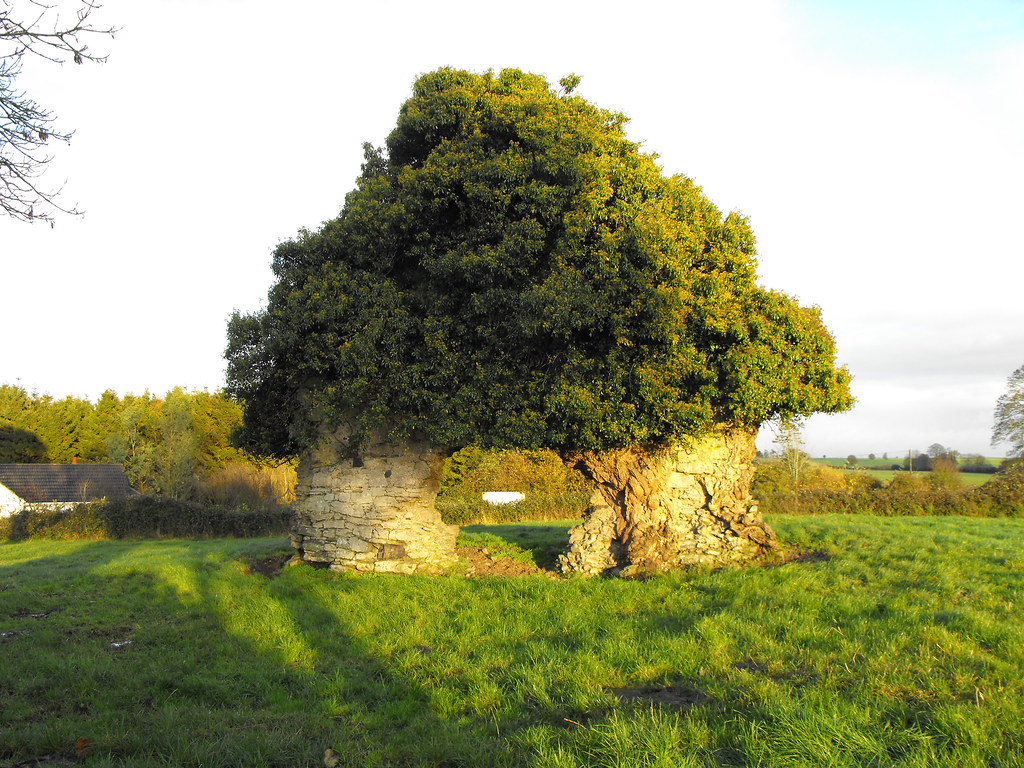
Description and History – Little is known about this ruin but it is generally associated with St. Colman who founded Oughaval and considering the two are not far apart this is likely to be correct. All that is left is the W gable end with an arched doorway. It is covered in ivy. The wall stands to about 7m in height and is now in a cattle field. The church was surrounded by a graveyard which is no longer visible and there are no surviving gravestones. Although so little remains it is actually very attractive and I quite like this little ruin.
Difficulty – It is in a cattle field opposite some houses so permission is necessary to go and look at it but it is close to the road and you don’t really need to get into the field to see this ruin.
For more ecclesiastical sites, click here.
For more sites in Co. Laois, click here.
View The Standing Stone in a larger map

