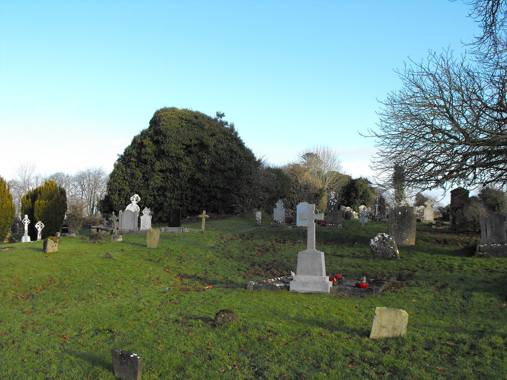
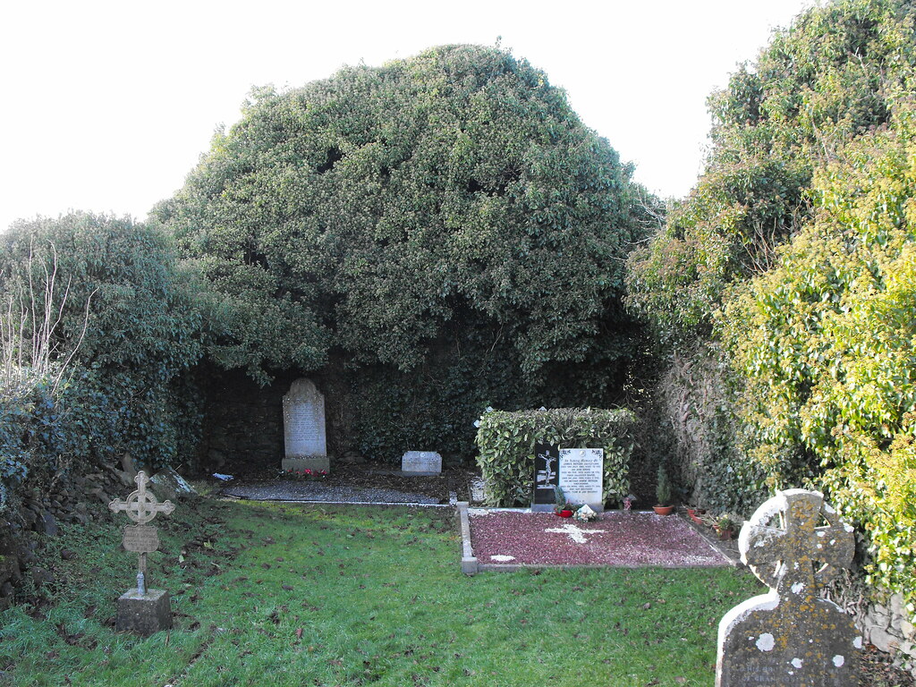
Location – Located in Castletown village in the modern graveyard. Heading towards Dublin on the N7 take the first right into the village and take the immediate right and turn left down a small track which leads to the graveyard.
OS: S 337 914 (map54)
Longitude: 7° 29' 53.17" W
Latitude: 52° 58' 21.02" N
GPS: S 33714 91418 (Accuracy: 8m)
See map at the bottom of the page.
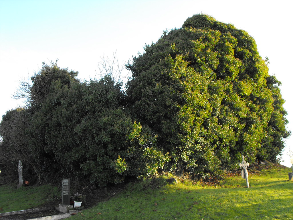
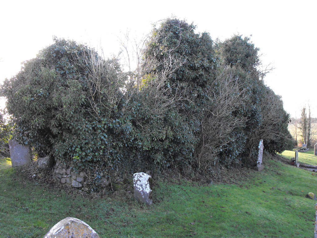
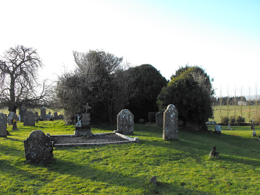
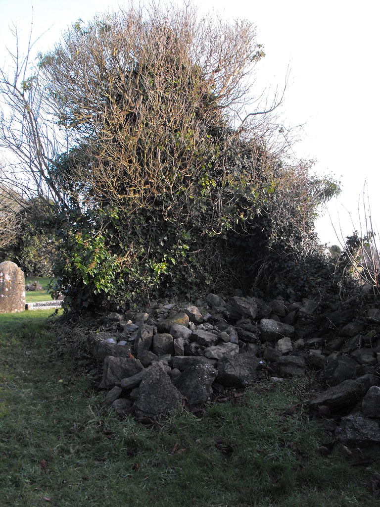
Description and History – This is yet another in a long list of churches I have visited that has been lost to time. The church is largely ruined and what remains is lost underneath ivy growth making it impossible to really make anything out. The patron saint of the church is St Cedus and he is commemorated on 20th November. The present remains are medieval in date and consist of a largely ruined church with the E gable surviving to most of its original height. Portions of the N and S walls survive at the E end. Wall footings survive at the W end. The church was 16m x 9m in size. I have a feeling that the ivy is the only thing holding this ruin together now and it is probably unremarkable underneath it all. The only reason this ruin stands out in my mind is because I left my walking bag with all my equipment in it on the wall of the ruin and was halfway home when I noticed it wasn’t in the seat next to me. I drove back and luckily it was still on the wall with everything inside. I’ve never made that error since.
Difficulty – Easy to get to and has plenty of parking.
For more ecclesiastical sites, click here.
For more sites in Co. Laois, click here.
Believe it or not there is a church under that ivy.
At least there's a bit of wall in this shot.
The inside of the church.
The wall footings.
View The Standing Stone in a larger map

