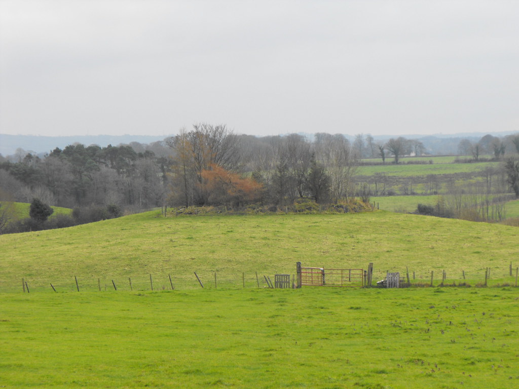
Location – In the foothills of the Slieve Blooms.
OS: S 162 929 (map 54)
Longitude: 7° 45' 31.51" W
Latitude: 52° 59' 11.9" N
See map at the bottom of the page.
Description and History – Listed on the current OS map as a mound this is actually a well preserved ring-barrow about 9m wide and 1m high. I couldn’t get closer to it on the day I was passing as there was a lot of flooding between me and the mound so walking to it was impossible. It looks to be well preserved apart from the trees and I will pop back here next time I’m passing and in better weather.
Difficulty – Fairly easy to spot from the road but the area is prone to flooding.
For more barrows, cairns and tumuli, click here.
For more sites in Co. Offaly, click here.
View The Standing Stone in a larger map


