Location – On the banks of the river Barrow a few miles North of Carlow town.
OS: S 713 810 (map 61)
Longitude: 6° 56' 26.75" W
Latitude: 52° 52' 32.96"
GPS: S 71310 81067
See map at the bottom of the page.
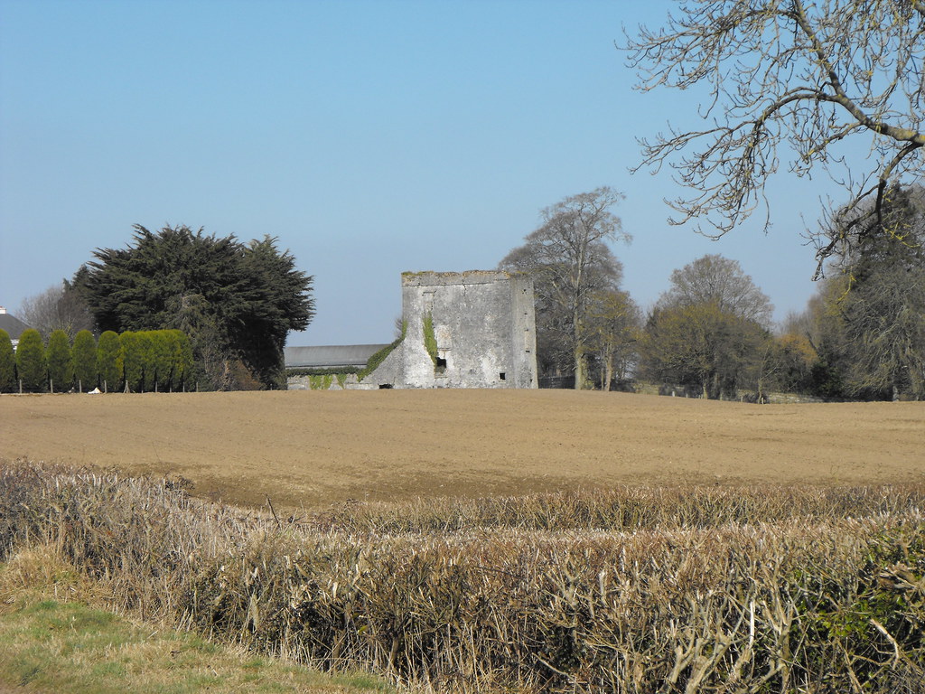
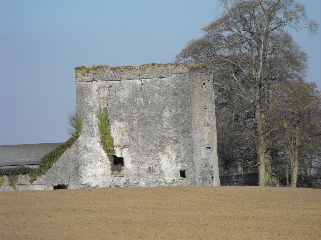
Description and History – This castle looks lovely from the outside but I have added to my list of places I failed to see properly. It is located behind a farmhouse next to farmyard and there was nobody in when I called in so I couldn’t get access to what appears to be a rather intact castle. It was built by Robert Hartpole in the reign of Queen Elizabeth but little else is known of the castle. Internally the floors are intact (which I have yet to see for myself) and there is still a lot of plaster on the walls and many finely carved mantle pieces. This is a castle I need to return to, but for now I just have a couple of pictures of the outside.
Difficulty – Easy enough to find but it is next to a farmhouse so permission is necessary.
For more castles, click here.
For more sites in Co. Laois, click here.
View The Standing Stone in a larger map


