Location – Near the R495 between Nenagh and Dromineer.
OS: R 831 818 (map 59)
Longitude: 8° 15' 3.93" W
Latitude: 52° 53' 12.72" N
See map at the bottom of the page.
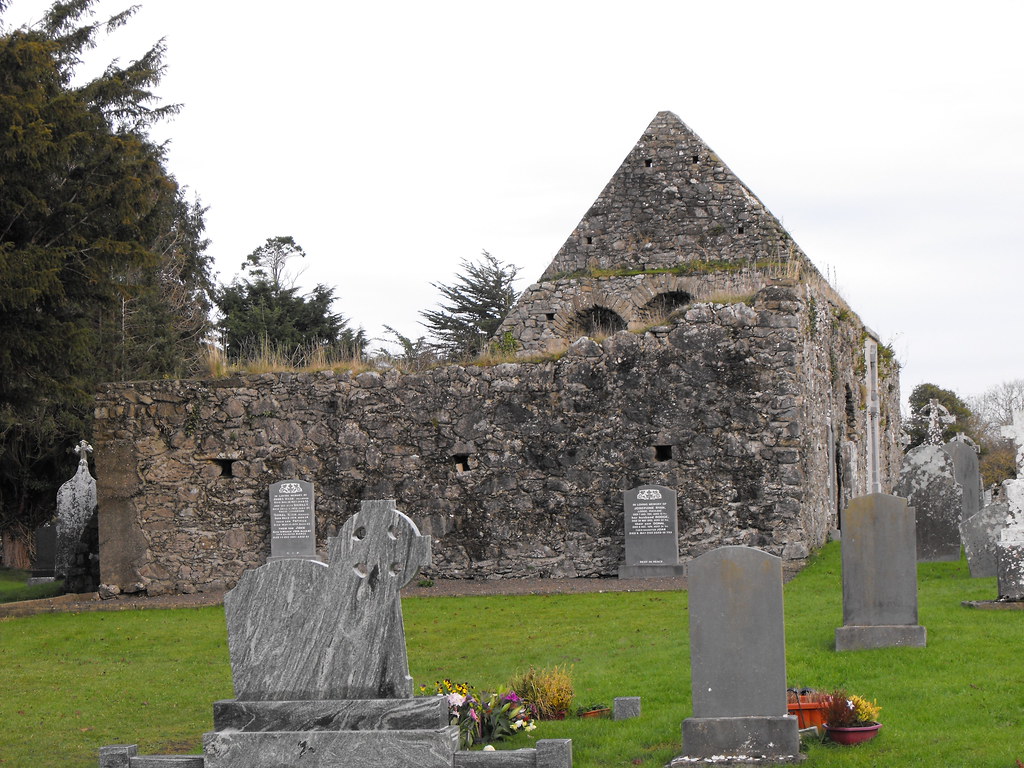
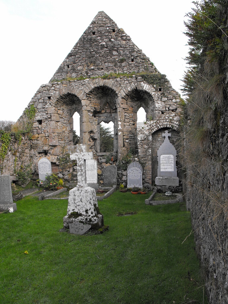
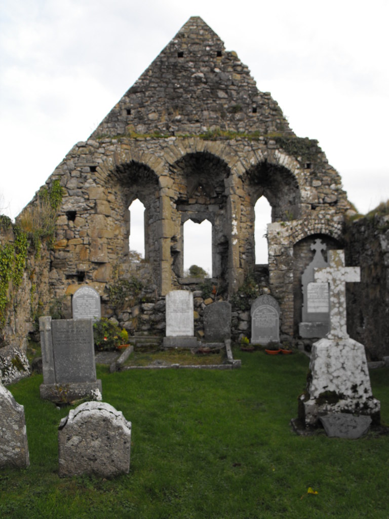
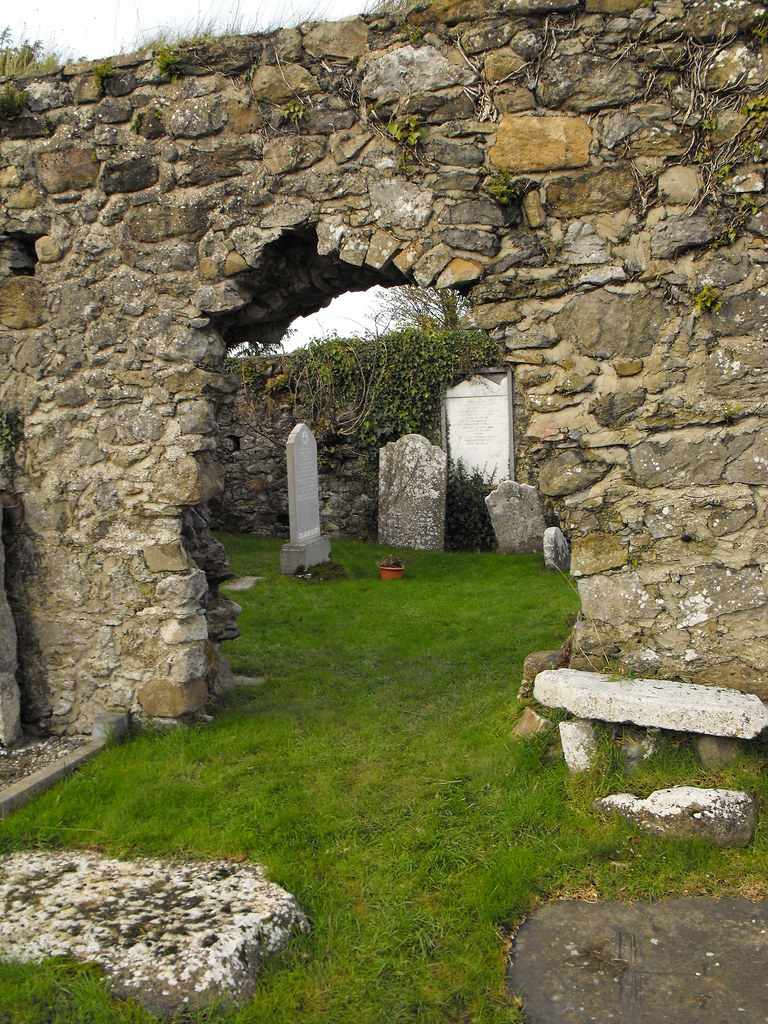
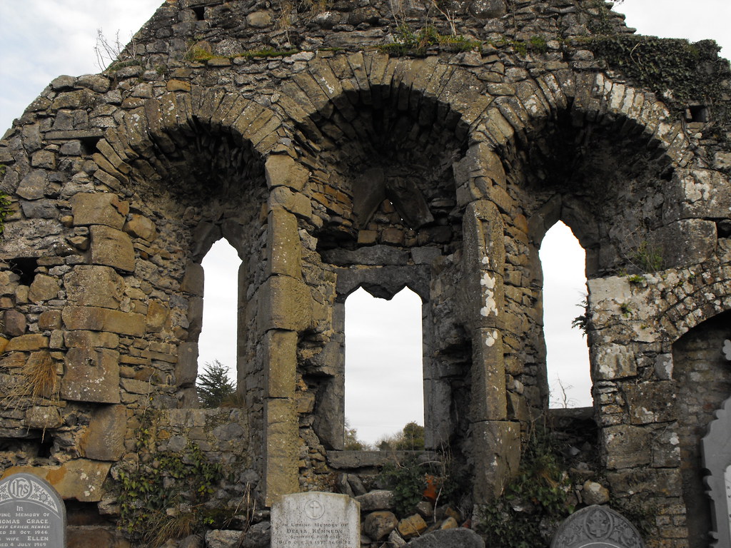
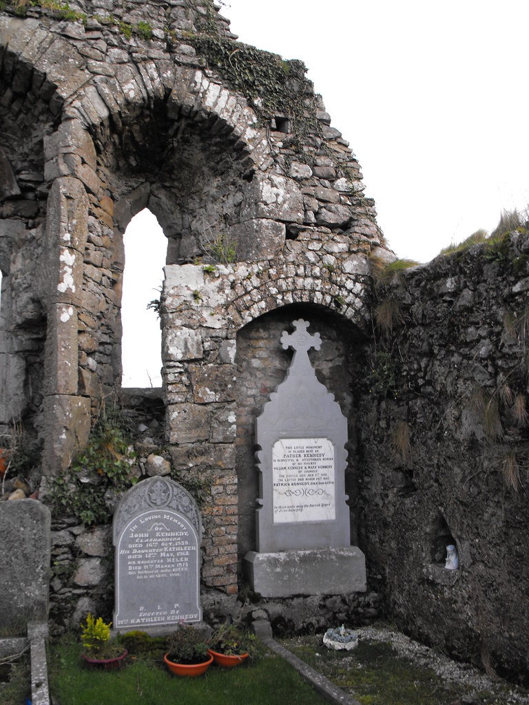
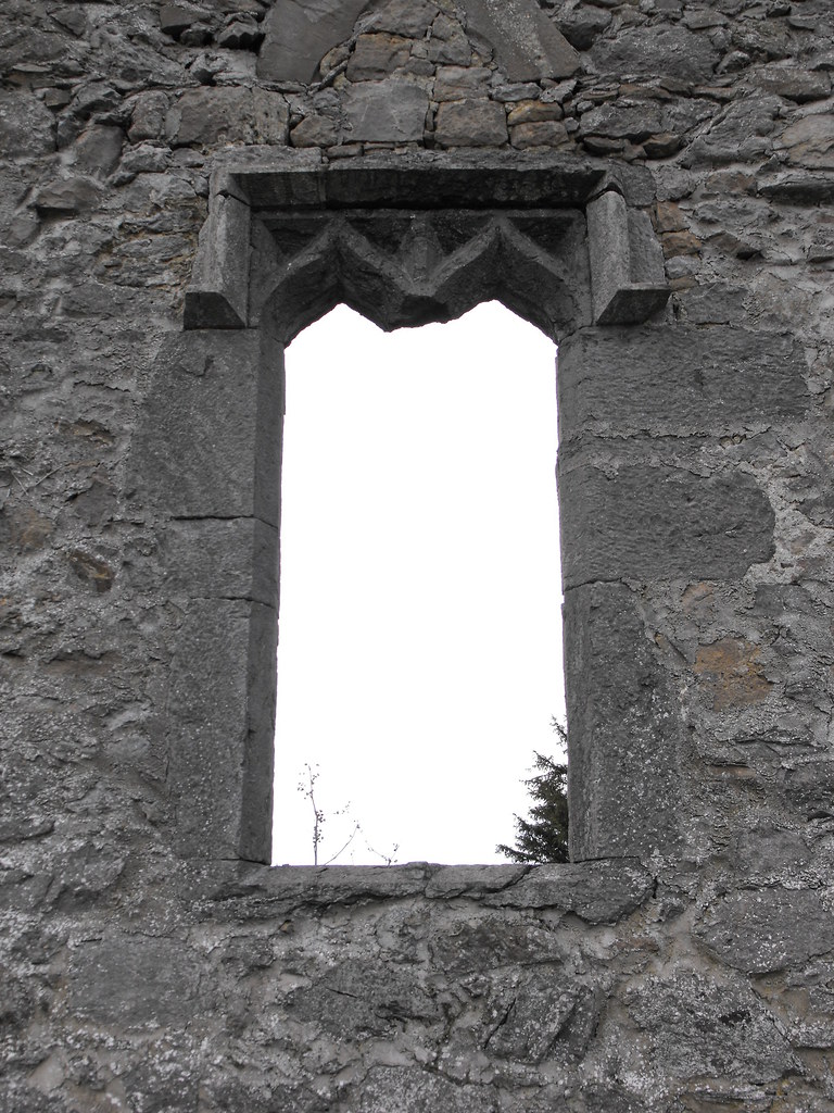
Description and History – Although there is nothing unique about this church I like it because it is well looked after. I have been to so many churches that are just covered in ivy and left to ruin that to see one that is so well maintained is an absolute joy. The remains are of a late medieval church about 9m x 20m. There has been a later restoration which has stabilised the remains. The E gable survives to full height while the W gable survives to about 3m. There is a gap in the N wall and the door in the S wall is partially ruined. The triple window in the E wall is in very good condition and makes this a very attractive ruin.
Difficulty – Easy enough to find and there is ample parking.
For more ecclesiastical sites, click here.
For more sites in Co. Tipperary, click here.
Inside the E gable.
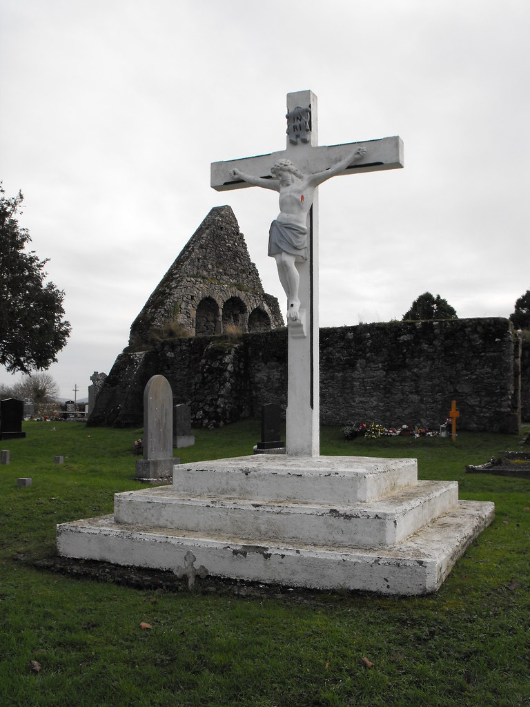
There are some lovely old graveslabs in this church yard.
View The Standing Stone in a larger map

