OS: N 305 124 (map 54)
Longitude: 7° 32' 38.26" W
Latitude: 53° 9' 40.49" N
GPS: N 30474 12351 (Accuracy – 5m)
See map at the bottom of the page.
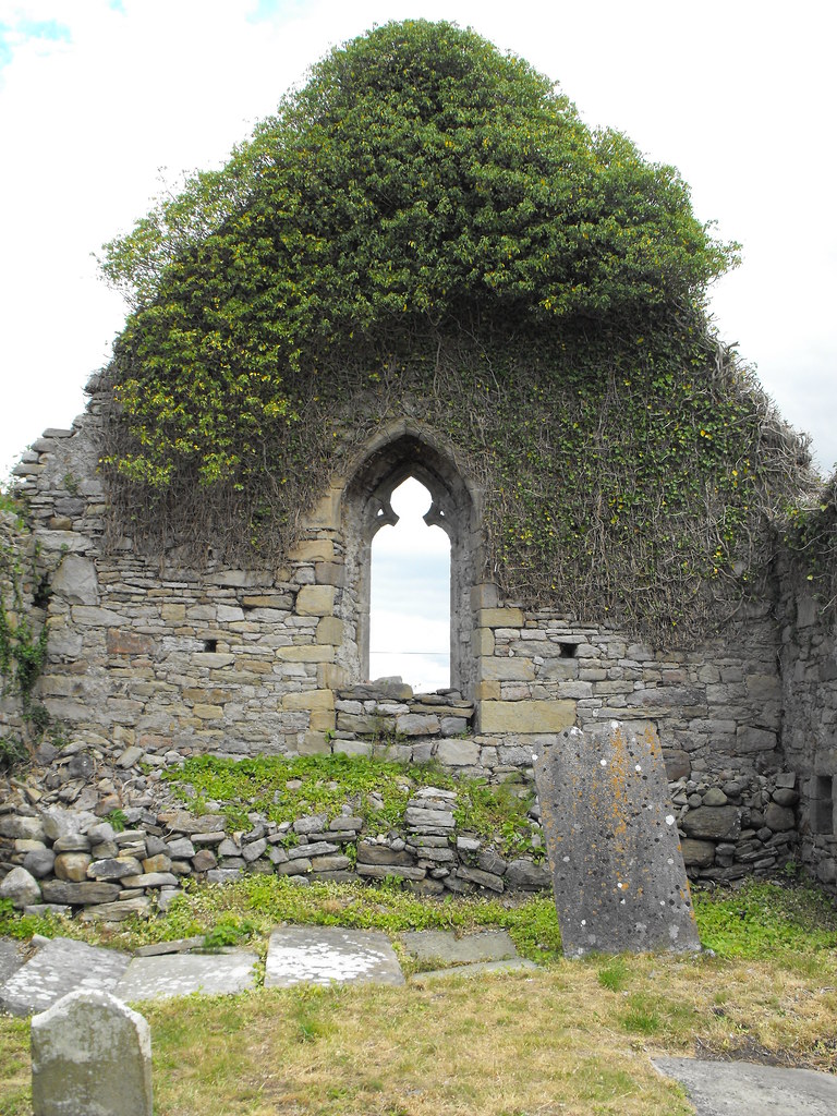
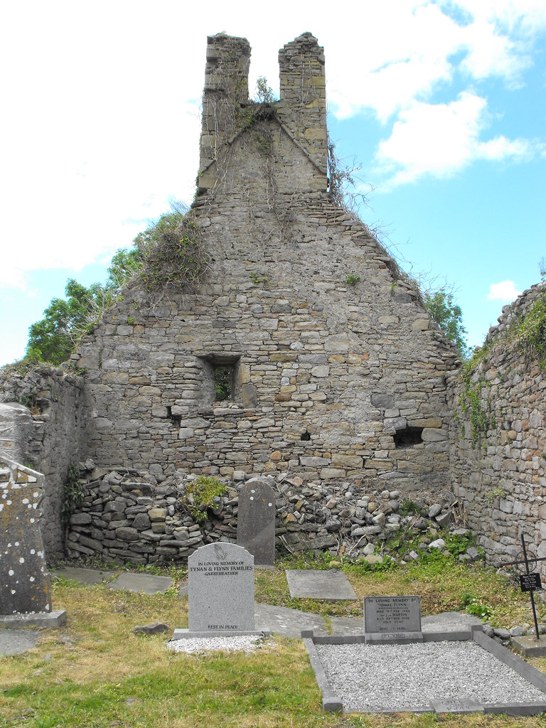
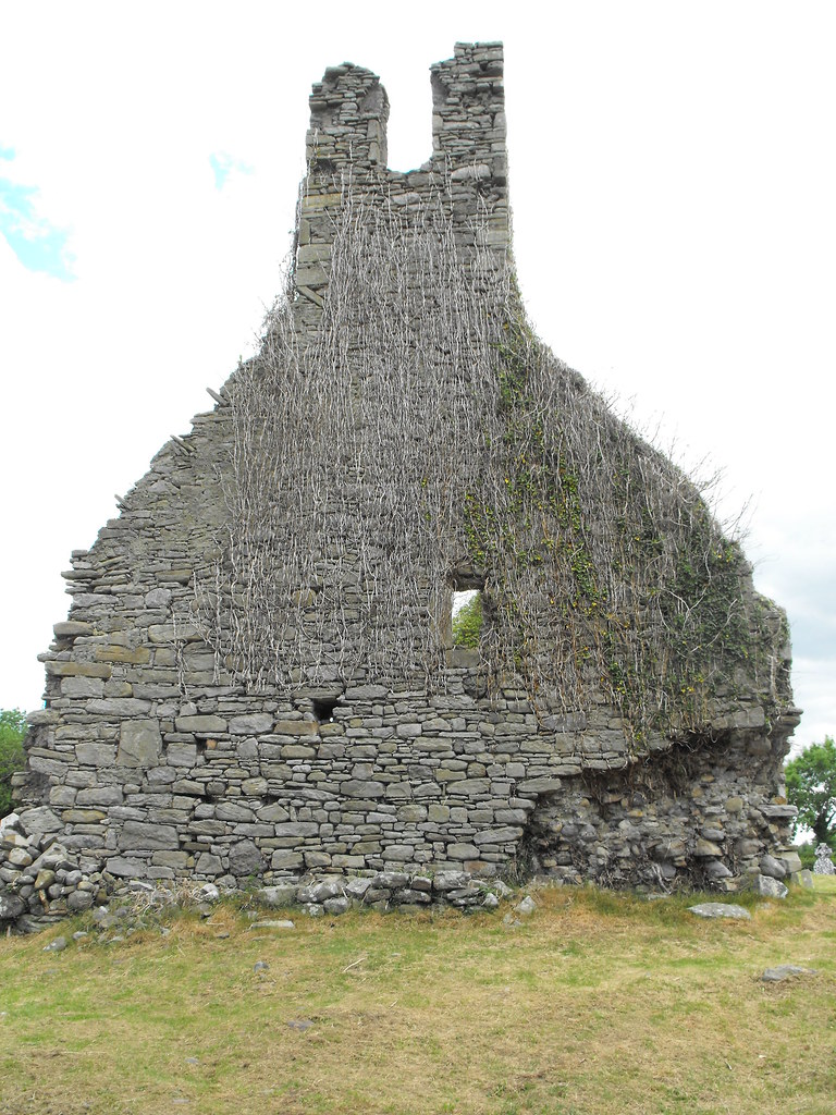
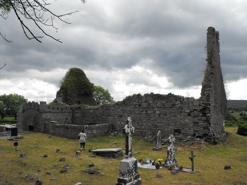
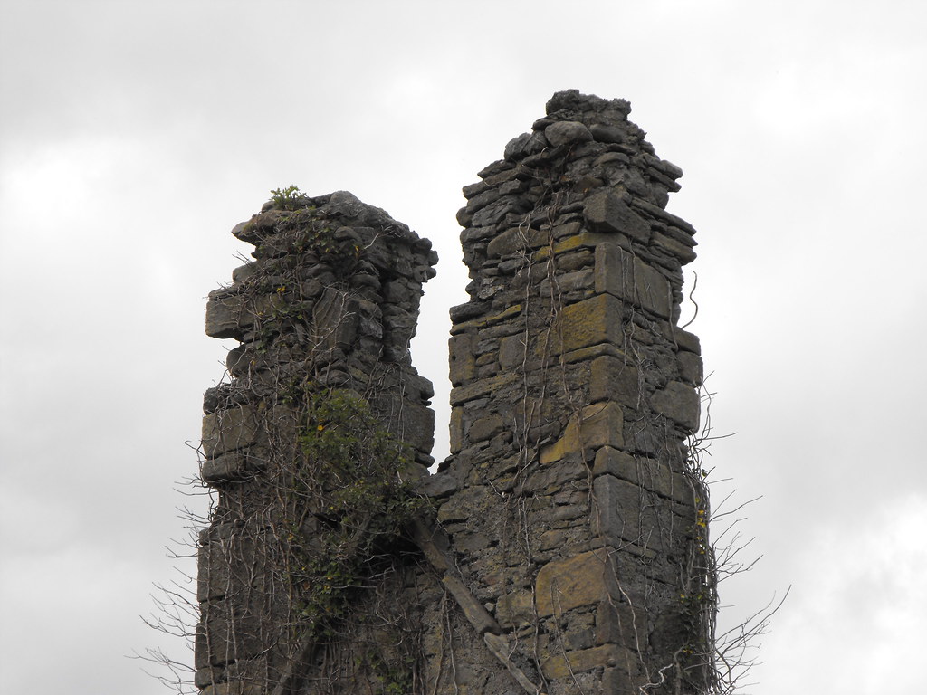
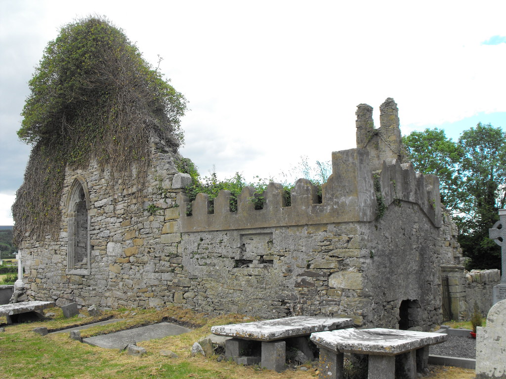
Description and History – Named after St. Manman this church was the centre of a late medieval parish and the ruin dates to the late 16th century. It’s fairly large for a parish church and is nearly 20m in length and 10m wide. The church is largely featureless but does have the remains of a bellcote. There is a small barrel vaulted chamber which appears to be much later in date than the original construction. This is a very picturesque church. There was a holy well nearby also dedicated to St. Manman but I could not find this. It was disused in the 19th century so I think all traces of this well have disappeared.
Difficulty – Easy enough to find and get to.
For more sites in Co. Laois, click here.
For more ecclesiastical sites, click here.
The remains of the bellcote.
View The Standing Stone in a larger map


